PROJECT SUMMARY
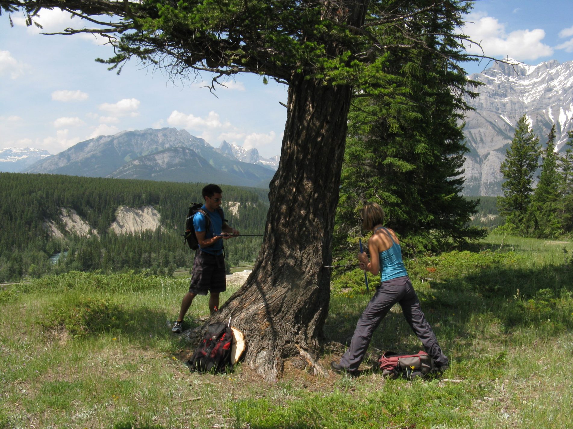
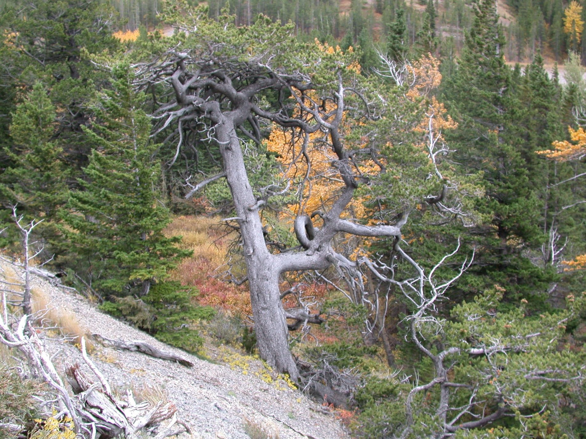
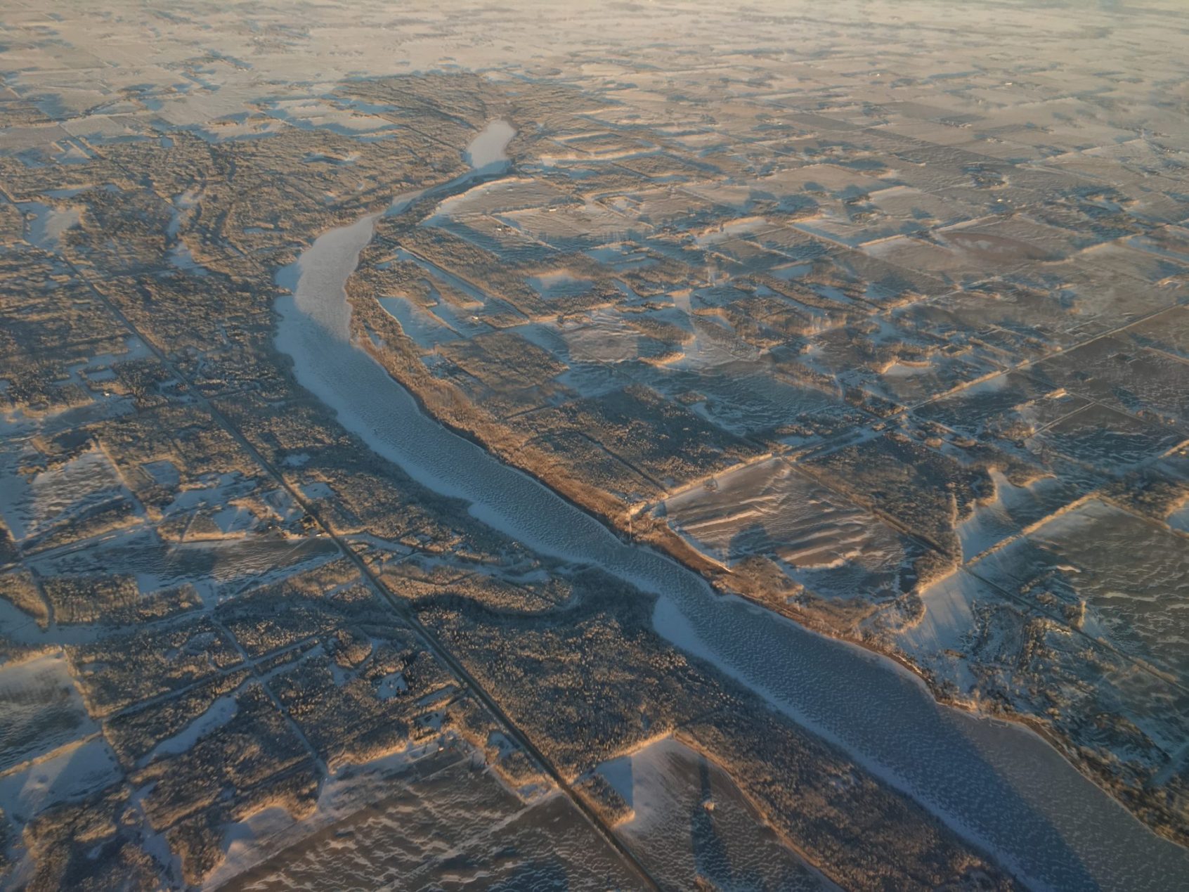
The research problem addressed by this project was the long-term variability and reliability of the flow of the Athabasca River, which is the major source of water for the extraction and processing of bitumen from the oil sands in north-eastern Alberta. The corresponding research questions were 1) to what extent do gauged flows, which are the basis for surface water allocation, fail to capture the full range of hydroclimatic variability and extremes evident in a longer proxy record, and 2) what are the implications for oil sands extraction and processing of this paleohydrology. The primary objective was achieved by reconstructing the annual and seasonal flow of the Athabasca River for the past 900 years using annual growth increments from old trees at a network of sites in the upper reaches of the river basin and in adjacent watersheds. The industrial partner, Canada’s Oil Sands Innovation Alliance (COSIA) is a collaboration of oil sands producers focused on accelerating the pace of improvement in environmental performance in Canada’s oil sands through collaborative action and innovation. COSIA shared the research findings with the oil sands producers that comprise their alliance. The project provided the oil sands industry will an expanded perspective on the variability and reliability of their major surface water supply, a perspective that captures extremes of climate and water levels that are outside the range of recorded historical flows.

PROJECT SUMMARY
The sustainable use of Alberta’s freshwater supplies relies on a solid understanding of their distribution geographically and over time as the climate varies. Major freshwater challenges are arising with a growing population, economic growth, and the interactions between economic development and a changing climate. Nowhere in Canada are these issues more insistent than in the South Saskatchewan River Basin (SSRB), where three of four sub-basins were closed to new water allocations following historically low water levels in 2001. To address this concern, WaterSMART Solutions initiated the SSRB Adaptation to Climate Variability Project, bringing together water users and managers to explore opportunities to improve the resiliency of water management in the SSRB. Presented with projections of future hydroclimate, including the most extreme scenarios, plus stakeholder observations, the project participants proposed and evaluated potential risk management and adaption strategies. The projections of future hydroclimate were developed by researchers at PARC. For the Oldman and South Saskatchewan sub-basins, we derived climate change scenarios from Global Climate Models (GCMs) and applied these scenarios to generalized-least-squares (GLS) regression models of the climate forcing of river flow. For the Red Deer River basin, we used data from 10 runs of Regional Climate Model (RCMs) from the North American Regional Climate Change Assessment Program (NARCCAP).

PROJECT SUMMARY
The primary objective this project was to generate up to 1000 years of weekly stream flows for the Bow River at Calgary and North Saskatchewan River at Edmonton. This unique data set enabled a secondary objective: an evaluation of the reliability of current water supply and management systems given the range of hydro-climatic variability and extremes in this unique paleo and projected hydrology. To achieve the first objective, we combined the methodologies of paleohydrology, the study of water over centuries and millennia, and stochastic hydrology, the use of statistical methods to generate randomized hydrological times series that closely represent natural hydrologic processes. Stochastic hydrology provides hydrologic variability that is statistically likely to occur, but also more challenging to manage than historic flows, either in terms of the magnitude of individual events or their duration. One of the main shortcomings of stochastic hydrology is that the generated output series preserve the annual flow statistics of relatively short historic records. Using paleoclimatic data to generate 1000 years of weekly flow estimates introduces hydrologic variability and sequences of wet and dry years that are not evident in the short historic flow record. From centuries of weekly river flows we can derive a) long-term past probabilities of low flows of specific severity and duration, b) evaluate the reliability of gauge records as the basis for nearly all decisions about water allocation, diversion and storage, and c) transfer of this new information on hydrologic variability to water managers for their assessment and use as input into water management models.

PROJECT SUMMARY
The objective of this project was to examine temperature and precipitation data from a suite of Global Climate Models (GCMs) and Regional Climate Models (RCMs) in terms of the implication for water availability for agricultural production. We first evaluated the GCMs / RCMs in terms of their capacity to simulative the climate of western Canada. We quantified differences between simulated and observed climate and bias corrected the climate projections. The climate data included mean conditions and extremes, and indices that combine temperature and precipitation, such as the Climate Moisture Index and Standardized Precipitation Evapotranspiration Index. The climate projections were expressed in terms of probabilities of exceeding critical thresholds for agricultural production. The research results were presented at forums attended by agricultural producers and industry representatives.


